Statistical Overview of Project Partner Areas
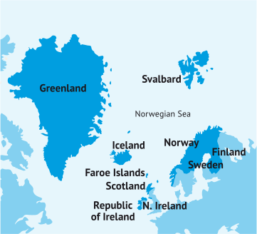
The areas taking part in the Sustainable Resilient Coasts are located thousands of kilometres apart, however all are on the periphery in the northern area. Each case study area differs in size, population, and landscape. To help provide some comparative context, statistics on the countries or case study have been gathered and are presented in the table below.
We looked at the four case studies within the COAST project of Clew Bay (Ireland), Rathlin Island (Northern Ireland), Westfjords (Iceland) and Hailuoto Island (Finland). While all the case study areas are within the Northern Periphery and Artic Area (NPA) and geographically have a lot of similarities, we also wanted to look at what the differences the countries and areas have.
Some of the statistics we look at in the below report are country population, country population density. We also looked closely at the population case study area, and this is where we have been able see the biggest difference with some area being in the hundreds of thousands while others are barley over 100 people.
We also looked at the land use and environmental designations for the case studies. This document gives an overview and is not a complete breakdown of the statistical information for the countries or case studies.
|
|
Clew Bay (Ireland) |
Rathlin Island (Northern Ireland) |
Westfjords (Iceland) |
Hailuoto (Finland) |
|
Country Population |
5,011,500 |
1,810,863 |
368,792 |
5,500,000 |
|
County Population Density |
72 per Km sq. |
133 per Km sq. |
3.6 per Km sq. |
18 per Km sq. |
|
Rural Dwelling County |
37% |
35% |
93.9% |
13.4% |
|
Urban Dwelling County |
63% |
65% |
6.1% |
86.6% |
|
Employment Rate (Country) |
94.7% |
70.7% |
80.3% |
72.3% |
|
Annual Visitors to Country |
9,700,000 |
3,600,000 |
687,802 |
7,000,000 |
|
Tourism Value to Country |
€9,500,000,000 |
€ 845,364,720 |
€ 1,050,805,464 |
€16,250,000 |
|
|
|
|
|
|
|
Case Study area Km Sq |
5,588 Km sq. |
9.75 Km sq. |
8,898 Km sq. |
205,660 Km sq. |
|
Case Study Area Population |
130,507 |
160 |
7,108 |
950 |
|
Land Use (Case Study Area) |
Agriculture/small scale farming/ upland grazing. Forestry/large plantations of conifers. |
Small scale mixed farming. Main settlement Church Bay, then scattered throughout the island. |
A few managed forest Very little urban settlement some agriculture, mostly sheep farms Mostly mountainous terrain. |
Few urban areas, mostly rural settlements. Some agriculture.
|
|
Environmental designations (Case Study Area) |
Special Area of Conservation. Special Protection Area. Natural Heritage Area. OSPAR Convention to Protect the Marine Environment of the North East Atlantic. Wild Nephin National Park.
|
Special Area of Conservation. Special Protection Area. Area of Special Scientific Interest. Antrim Coast and Glens Area of Outstanding Natural Beauty (AONB). |
Hornstrandir Nature Reserve. Breiðafjörður Marine Protected Area, Dynjandi
|
A number of Natura 2000 Network districts, covering most coastal areas. One of Finland’s 27 designated National Landscapes. |