Project Description
The N59 Mulranny Footpaths Scheme is 1.8km in length, and runs from the Western side of Mulranny Village to the junction with the Golf Links Road on the eastern side of the village. This section of National Secondary Road was deficient in terms of horizontal alignment, vertical alignment and cross-section, and there was a proliferation of junctions and private accesses causing traffic hazards
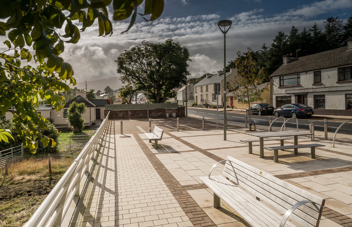
The project comprised of the following improvements: -
Footpaths and pedestrian crossings, cycleways and traffic calming along the length of the village;
A linear civic area, i.e. a promenade, on the south side of the road linked to businesses on the north side of the road by pedestrian crossings. The promenade features facilities for pedestrians and cyclists and overlooks the magnificent views of Clew Bay;
Improved connectivity between the Greenway and the village centre and improved pedestrian links to the school;
Car and bus parking.
Summary of Project Details
Length:
1.8km
Contractor:
SIAC & Mayo County Council
Date of Commencement on Site:
January 2015
Date of Opening:
December 2015